That’s roughly the average logbook of a pilot killed in a wire strike. Experience doesn’t protect you — equipment must. Soar tracks 8,056,554 power-line spans and warns you before your path crosses one.
Counted from the production database, not marketing copy. Height is verified for 33% of hazards — a real number, published because pilots deserve the real one.
01One database · both worlds
The map follows the light. The wires never leave.
Night ops
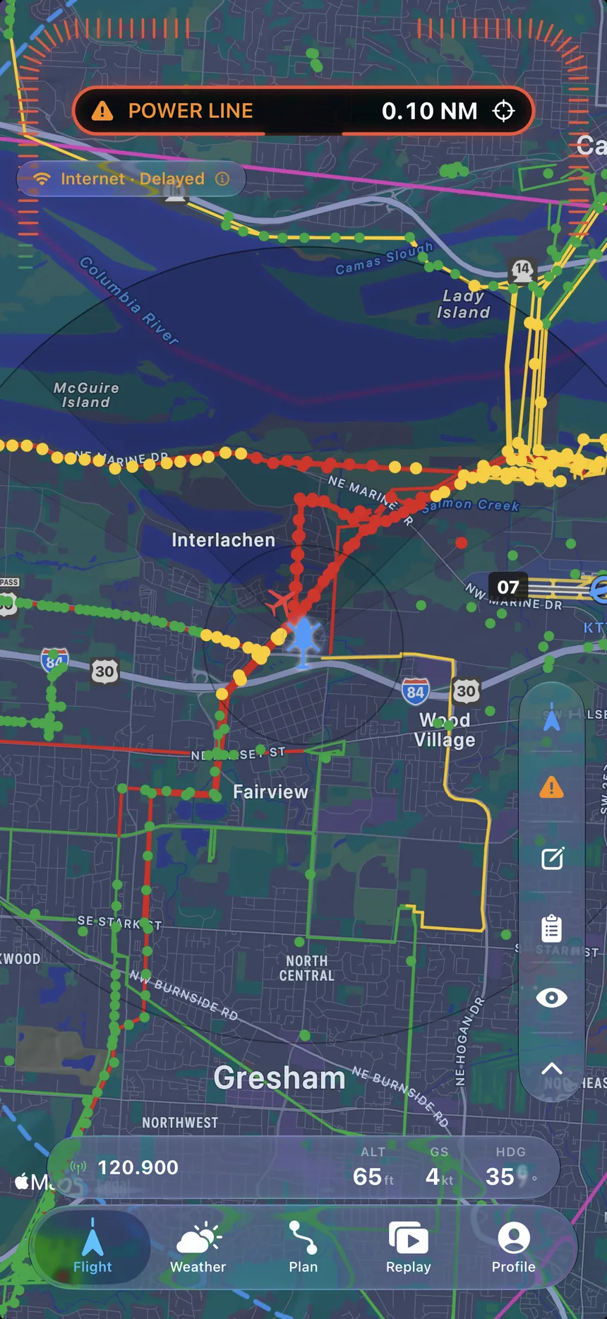
Dark map, dense wire country.
The Flight tab renders every span around you — ownship, radius rings, the full network. When one threatens your path, the banner fires.
POWER LINE — 0.10 NM
Day VFR
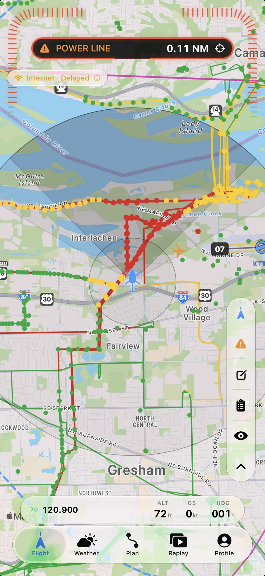
Daylight. Same wires.
Light map with the directional alert cone. It narrows and points ahead as speed builds, and opens back up when you slow to a hover.
02Why our wire data beats the FAA’s
The FAA’s file marks a dot. Wires are lines.
The FAA Digital Obstacle File models a power line as one coordinate at the sag point — no direction, no span. That’s from the FAA’s own documentation. The entire DOF holds 641,207 records: under 8% of our database.
FAA DIGITAL OBSTACLE FILE — one coordinate. No direction. No span.SOAR — the span itself. 8,056,554 of them.
34 independent data sources22 US electric utilities’ own distribution GIS6 countries with authoritative dataUS · France · Switzerland · Canada · Australia · Austria
The honest part
2,939,665 hazards carry verified height — 33% of the database. The rest don’t, and we say so instead of pretending. An advisory tool you can’t trust to be straight with you isn’t advisory. It’s decoration.
Verified height coverage33%
2,939,665 of 8,810,570 hazards
~12%
of fatal helicopter accidents are wire strikes.
81 fatal wire strikes, 2001–2015, across a multi-country study — a leading cause of fatal accidents in utility, agricultural, EMS and tour operations. The pilots weren’t rookies: the average sat at ~3,575 flight hours. Experience does not protect you. Equipment must.
03Alerting · Live Activity
On your lock screen. Quiet when it should be.
Loud when it must be. Before the wire, not after.
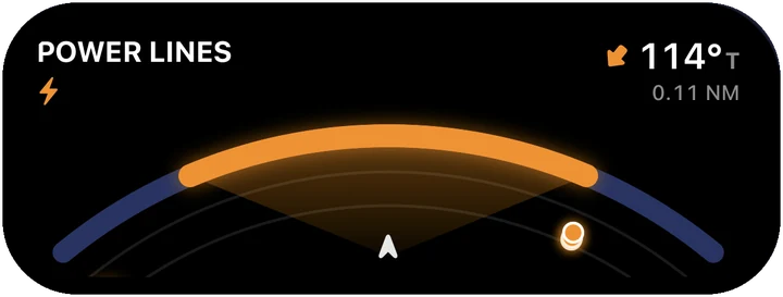
BRG 114°TRANGE 0.11 NMTIER WARNING
This is where it lives. On your lock screen, over everything.
Free. No paywall between a pilot and a warning.
Download now — the database starts caching for where you fly.
The alerting is why Soar exists. The flight bag around it means it’s open when it matters. Every feature here is real, in the current build.
04·AIn the pilot’s hand
Choose a tool. See it running.
Every span around you — ownship, radius rings, the full network.
Patent pending
Predictive wire alerting
Trajectory-aware: the app projects your flight path and checks it against span geometry — not just a radius around your position. Three tiers escalate with closure rate, and the directional cone adapts to your speed: wide in a hover, narrow and forward at cruise.
CAUTIONWARNINGCRITICAL
Escalates the way an instrument would.
Live Activity radar
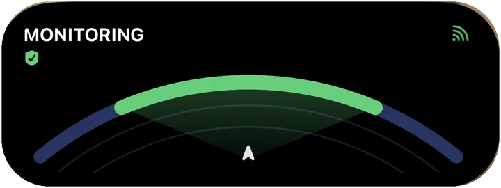
A polar hazard plot in the Dynamic Island. Threats stay on screen without unlocking the phone.
Audio + background
Spoken alerts with verified background operation — screen on, off, or in your kneeboard pocket.
Works offline
Cached areas keep alerting with no signal. Wires don’t care about coverage maps.
Pilot reporting
See a hazard the database missed? Report it from the cockpit and make the map better for the next pilot.
ADS-B traffic
Traffic via network and GDL90 receivers (Sentry, Stratus) — latency-corrected, and smart enough to know on-ground from airborne so the pattern stays readable.
Flight planner + auto-routing
Apple-Maps-style planning with terrain- and turbulence-aware auto-routing, a Route Profile that slices terrain and obstacles along your path vertically, and fuel planning with FAR 91.151 reserves.